
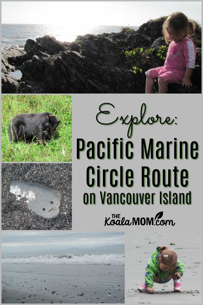
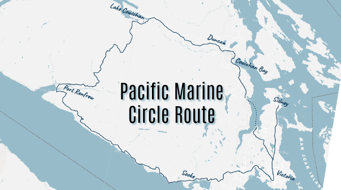
Like so many other families, my husband and I decided to use the long weekend to take a last big trip before school starts. He showed me a few ideas on Thursday. On Friday, I said “Let’s go” and he said “Where?” and I said “I don’t know. Where can we get in about two hours?” My husband googled a couple of places and discovered the Pacific Marine Circle Route.
This route is a loop around the tip of southern Vancouver Island, with great camping and beaches along the way. Lately, Sunshine has been whiny when we’re driving and I didn’t want to put up with that for too long. The campgrounds and dayhikes dotted along the Pacific Marine Circle Route provided the perfect balance of driving and stopping for travel with a toddler.
I found our camping gear, and we loaded up the Jeep and hit the highway around 5:00.
We drove north from Victoria on Highway 14, which is a two-lane, narrow, twisty road along the coast. The speed limit was usually about 60 km/h and there were often places to pull over to let faster vehicles (like the gangs of motorbikes we saw) go past.
Later, when we left the “highway,” I joked that the only difference between it and the next road (a secondary highway?) was the lack of a yellow line down the middle. In places, both roads also narrowed to one lane yielding to oncoming traffic to go over a bridge.
One thing that has surprised me here on the island is distances. Perhaps it’s because the highway, being twisty and slow, was much more interesting than driving the QEII or other highways in Alberta. Or perhaps it was because Sunshine was actually happy for the two hours it took us to reach China Beach.
This post contains affiliate links.
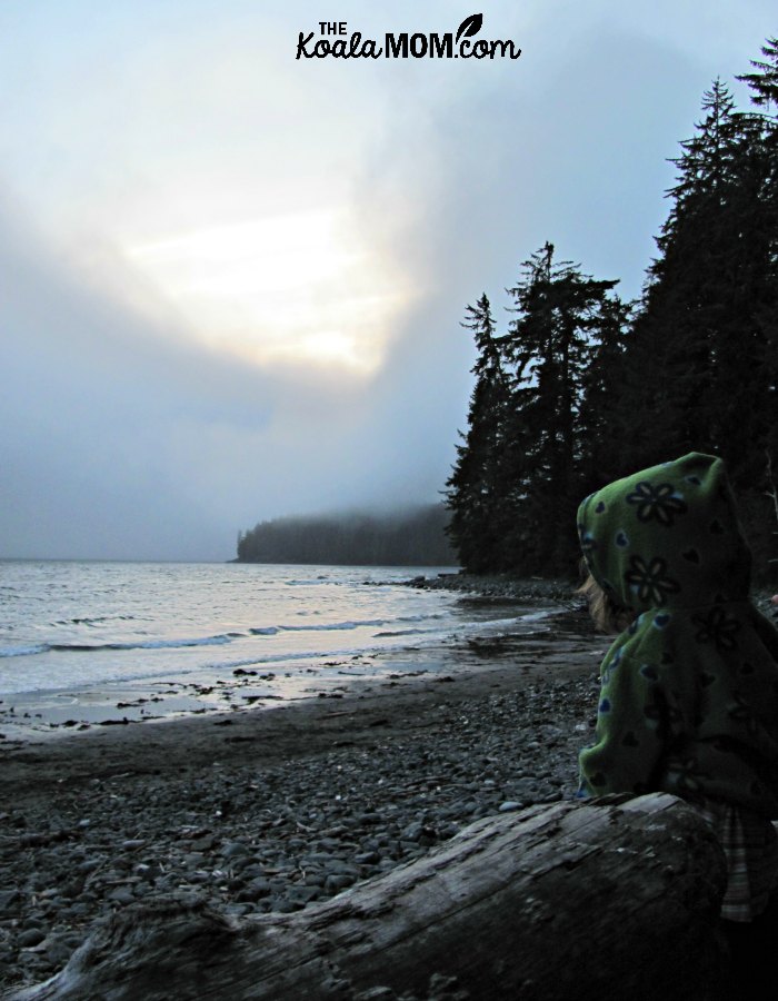
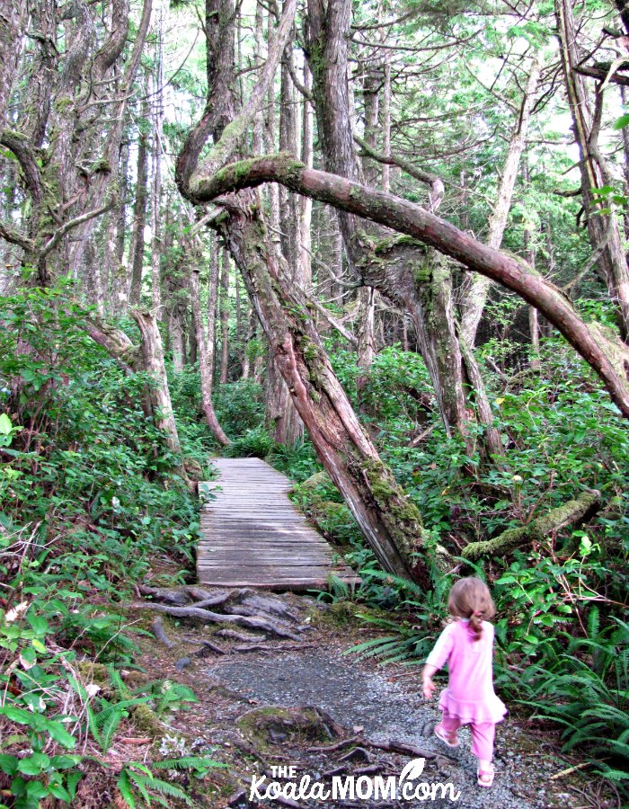
First Night: China Beach
We found a campsite we liked and then went to check out the beach before dark. It was a 1 km hike down through the trees, with several sets of long stairs to help. After a quick glance at the grey, windy beach, we headed back up to set up our tent and eat supper.
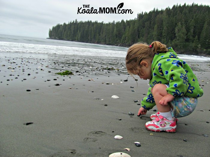
The next day we drove to the day-use area for China Beach and again hiked down the beach. The weather was cloudy and misting slightly, but the hike from there down the beach was slightly easier and involved less stairs.
At the beach, Sunshine began happily “making sandcastles” or burying kelp. My husband had been hoping that we could walk along the beach to the other trail and then back to the Jeep, but the rocks prevented any sort of loop like that.
So we went back up to the Jeep and continued along the Pacific Marine Circle Route to Sombrio Beach.
Dayhike: Sombrio Beach
The narrow, rutted, gravel access road to Sombrio Beach made us glad we had a Jeep and surprised at some of the tiny cars that drove down there. The parking lot was packed; obviously, this was a popular stop on the road—or perhaps the now sunny weather had brought all the locals out. We grabbed our lunch stuff and hiked the five minutes down to the beach, along with other “beach campers” who were hauling in coolers, lawn chairs, and twelve-packs of beer.
We didn’t like the campground at East Sombrio, so we hiked back to the fork and out to West Sombrio. Here, there were wooden tent pads up off the beach and we used one of these to cook Hamburger Helper for lunch.
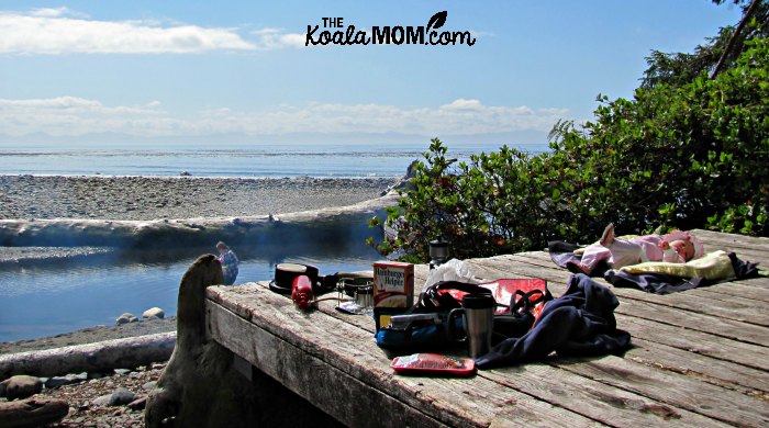
Sunshine and I explored the rocky beach, watching the seagulls splashing in the shallows. She threw rocks into the river and, when she saw others going barefoot, wanted to take off her shoes too.
After lunch, we hiked back up to the Jeep and continued driving along the Pacific Marine Circle Route. We enjoyed the scenery along the road and also spotted a black bear!
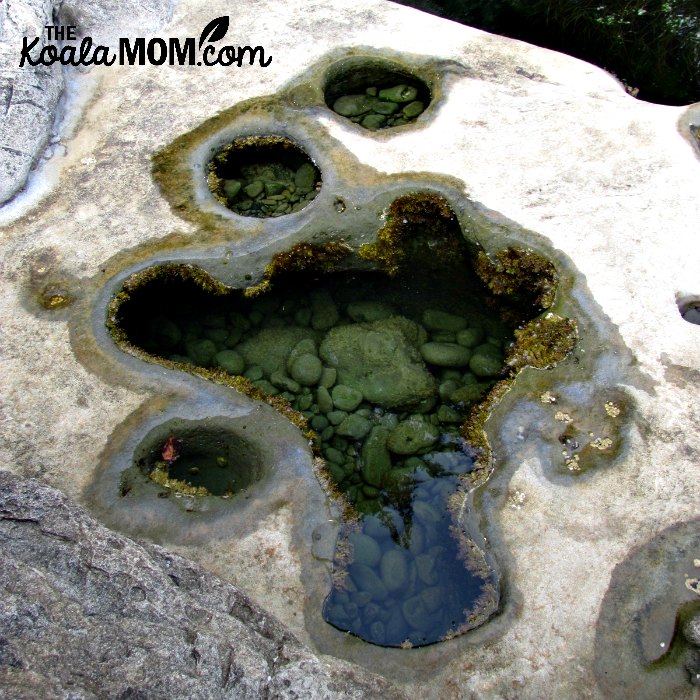
Dayhike: Botanical Beach
 By the time we got to Botanical Beach near Port Renfrew, I was exhausted (probably a combination of the hiking, less sleep, and dehydration). My husband was gung-ho to hike out to this beach and I just wanted to sleep. However, it was only 3 pm so I also didn’t want to head for camp.
While he looked at the map, I looked up Botanical Beach in our Frommer’s Guide. Frommer’s gave it a rave review, so I decided we shouldn’t miss it. We went back to Port Renfrew for ice cream and water, then came back to hike the Botanical Beach loop.
While we didn’t find anything as spectacular as starfish or sea urchins in the tide pools, we did enjoy the hike, including clambering over the rocks. Sunshine was remarkably energetic for most of the hike and, with help, quite okay with climbing around looking for tide pools in the rocks.
Later, my husband got her playing dinosaur to keep her walking. Several other hikers smiled at the two-year-old running down the trail yelling “roaaar.” When she got tired, my husband carried Lily and I put Sunshine in the Ergo baby carrier.
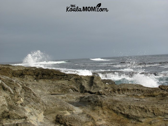
We sat on the beach there for half an hour, letting Sunshine play in the sand with some other kids and just watching the waves roll in. A blue heron flew past and I played with the settings on my camera to get pictures of the sun over the ocean.
As we sat there, I thought, “This is why we moved here.” Not because I love beaches so much, but because it’s another experience. Something new, something we can’t do in Alberta. For a few minutes, it was fun to just sit there and watch the waves crash.
Second Night: Campgrounds Full
We left Botanical Beach at 7:30 and drove east looking for a campground. Fairy Lake, the first one we came to, was full. Lizard Lake had one spot left, until the neighbours warned us that they were having a very loud twenty-fifth birthday parting. San Juan was full. And the ranger at Stoltz Pool had given away the last spot just before we got there.
By then, we were an hour from home, so we gave up on camping and just headed for Victoria.
More about the Pacific Marine Circle Route
We’ll drive the Pacific Marine Circle Route again sometime and stop at some of the places we missed this trip. Maybe next time we’ll plan our trip slightly further in advance so that we can reserve campgrounds. Still, it was a fun weekend, a nice get-away-and-see-the-island before becoming busy with school.
For more places to stop and explore along the Pacific Marine Circle Route, visit the Tourism Victoria website. While you can drive the route in a day, I do recommend spending more time along the way. There’s plenty to see and do!
If you’re planning to drive the Pacific Marine Circle Route or visit Victoria, check out my list of things to do around Vancouver Island. Can’t make it to the Island this summer? Plan a Virtual Field Trip around Vancouver Island!
One Response
We spent our first night in the tent trailer on our first outing with it waaay back when, on China Beach. Our son Benjie was just three then. He was fooling around on the tent trailer bed and almost fell out when he somehow got his leg between the canvas and the base.
On a later trip we went to Bontanical Beach. Have a memory of a horrendous road that just about wrecked the oil pan of our car. A jeep would be the right mode of transportation. Glad you’re enjoying these great island getaways.