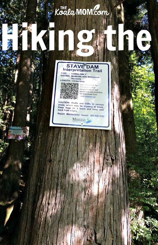
We don’t leave the Vancouver city area very often. When we do get outside city limits, we try to make sure that we have more than one thing to do in the area. So when we went out to the Stave Falls Powerhouse in September, we also hiked the nearby Stave Dam Interpretation Trail.

The Stave Dam Interpretation Trail is located just a bit further down the road from the Powerhouse. It’s not very well marked; there’s a little bridge and staircase on the side of the road and a sort of pull-out for a parking lot, with a sign about the trail. (There were a few other trails nearby as well, with bigger parking areas and signs.) We turned around and parked on the side of the road, then started up the trail (which is well-marked all the way along and seemed to be well-used as well.)
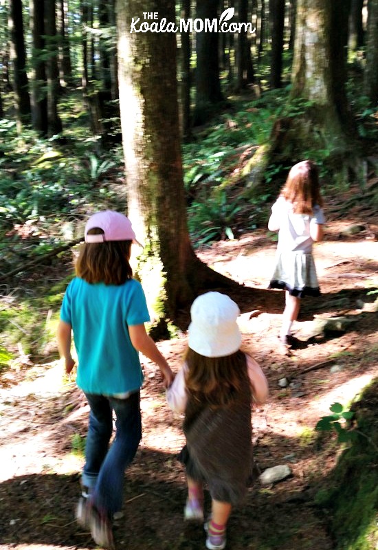
Sunshine and Lily were originally not very excited about the idea of a hike, but once we got started, my husband and I could barely keep up to them. They marched ahead (Sunshine holding Jade’s hand and helping her over the roots and rocks) while I admired the towering trees and tried to take pictures.

The trail wound steadily upward through the trees, crossed a gravel road, and kept going up. Every time we thought we were nearing the top and would get a great view of the reservoir, there was another twist in the trail and just more trees and more hill to climb. The girls’ enthusiasm began to wane. Jade asked to go into the Ergo, and I tried to convince her to hike just a bit further, because my back was already sore from wandering around the Powerhouse.
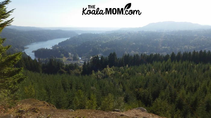
Finally, we did reach the top and the amazing view we’d been hoping for. Sitting on a rock, we stared out across the evergreen forests to the river and reservoir and beyond that, more hills in the haze. I took some cute pictures of the girls sitting together there. I was also completely turned around by the hike, as we weren’t facing the direction that I expected. Still, the view was worth the hike up to it.

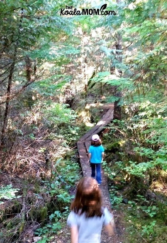
The girls’ energy returned on the trail down. Even Jade wanted out of the Ergo to run along some of the bridges and easier parts of the trail with her sisters. We made a game out of watching for the orange reflective trail markers stuck to the trees and black-and-white numbered signs (which correspond to a brochure you can download with more information about the trail).

The Stave Dam Interpretation Trail goes through several different types of vegetation. My husband explained this is because the area has been carefully logged over the past century, so we saw young forest, middle-aged forest, and old forest. I tried to point out various aspects of this to the girls, but I’m not sure they appreciated it as much as I did. The changing vegetation did make for an interesting hike, once we’d come and gone from the two viewpoints at the top of the trail.
I think we spent about two hours hiking the trail, with only a brief stop at the top to admire the view.
Baby-friendly: this trail isn’t suitable for a stroller (there are stairs, narrow bridges, and lots of rocks and roots along the way), so I recommend a good baby carrier if you’re going to hike the trail with a toddler or baby.
Kid-friendly: The distance is short (1.6 km round-trip) but the elevation gain is quite a bit (150 meters) so water and a snack would be a good idea (and help motivate kids to reach the viewpoint). The girls did enjoy the changing scenery and various “obstacles” along the trail, like logs to step over or bridges to run along. Older kids would enjoy carrying the trail brochure and reading out the details about the area.
For more information about the Stave Dam Interpretation Trail, including the PDF brochure with details about specific points along the hike, visit the District of Mission website.
If you’re interested in this hike or have done it, you may like these family-friendly hikes around greater Vancouver as well.

No Responses Yet